Earlier this week, we published a story about how whale conservation helps to fight climate change. Today, we explore an innovative method for combating illegal fishing and whaling. Read the other story here.
Some of the world’s biggest companies, from McDonald’s to Safeway, have committed to sustainable seafood. What a relief — no more deciphering labels or Googling species in the supermarket. But what if these companies themselves have been duped? What if the fish they’re selling was illegally caught? A space-based initiative called Global Fishing Watch is helping to make sure that doesn’t happen.
Illegal, unreported and unregulated fishing (IUU) costs the industry $23 billion each year. It takes many forms: misreported catches, doctored logbooks, vessels trawling where they shouldn’t. In the U.S., as many as one in three imported fish are IUU — an ugly asterisk for “sustainably sourced.” But until recently, IUU fishing was virtually impossible to police on a global scale.
That changed a decade ago. Paul Woods was working as the chief technology officer at Skytruth, an organization that uses satellite imagery to monitor and protect the environment. Skytruth has been around since the early 2000s; its breakthrough moment came in April 2010 when it publicly challenged BP about the magnitude of the Deepwater Horizon oil spill. To create Global Fishing Watch, Skytruth got together with two key collaborators: the marine conservation group Oceana, and Google, which brought its big-data analysis tools to the effort.
In 2010, satellite technology advanced to the point that vessels at sea could be tracked from space. Prior to this, ship captains were essentially on the honor system — the only way to monitor their fishing activity was to trust their logbooks. “We realized how opaque the system was,” says Woods, now chief innovation officer at GFW and the architect of its technology platform. “Fisheries management looked like it was designed to run in the 19th century.”
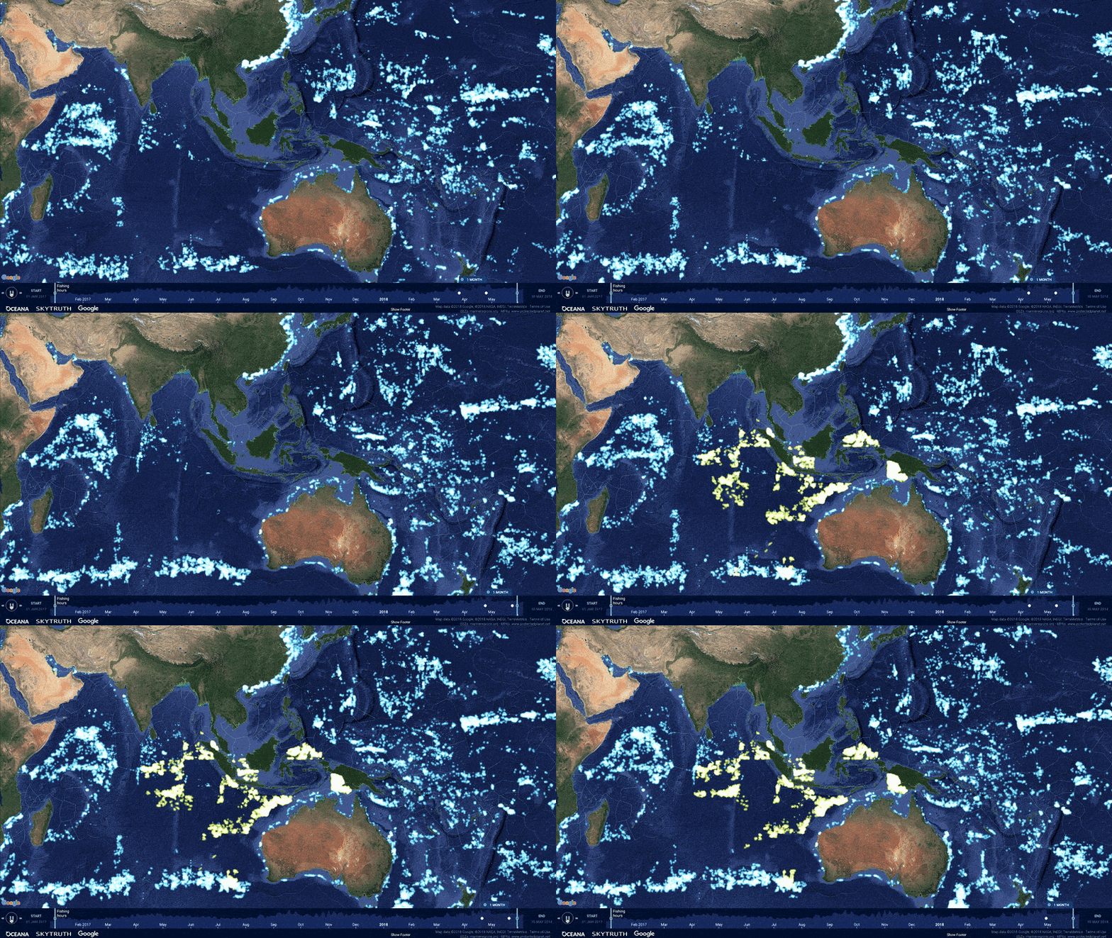
Global Fishing Watch tracks thousands of vessels across the world’s oceans in real time. Algorithms sort through the data looking for signs of illegal fishing.
At first, GFW just used the technology to look for oil slicks. “But when you do that,” says Woods, “you also see the vessels the oil slicks come from — they show up as nice, bright spots on your radar. So then we said, hey, we can identify these vessels from their AIS broadcasts.” AIS is the “automatic identification system” that maritime law requires every large vessel to broadcast. It was originally developed to prevent collisions, but GFW decided they could also use it to look for suspicious behavior. “We realized if you take a lot of that data, you can start to see patterns of vessel movement that indicate pretty clearly where the illegal fishing is happening.”
The sheer volume of data presented a major challenge. On any given day, more than 300,000 vessels worldwide are broadcasting over 60 million points of information. GFW buys this satellite data from a variety of sources, including commercial satellite operators and government agencies like NASA. All this data can be quite expensive — an array of funders pick up the tab. GFW then feeds it through algorithms that look for signs of IUU fishing. “The data is hugely noisy, full of crap,” says Woods, so Global Fishing Watch enlisted real human fishery experts to teach the algorithms what kind of activity to look for.
For instance, a clear sign something fishy is going on is when a vessel turns off its AIS, known in IUU parlance as “going dark.” But there are subtler signs, as well. One recent study found that homing in on refueling tankers is a good way to spot IUU fishing, since vessels that are fishing illegally would rather refuel at sea than confront the authorities back at port.

Though its map has only been live since 2014, Global Fishing Watch has already scored some victories, in particular through assisting governments that are already working to stop IUU fishing. For instance, in 2017 the group partnered with Indonesia to track the movements of smaller Indonesian fishing boats that aren’t picked up in satellite data, adding hundreds of vessels to the map. GFW now provides the government there with analysis to support its crackdown on illegal fishing. Since 2014, fishing in Indonesia’s waters has dropped by 25 percent as IUU fishing has dissipated.
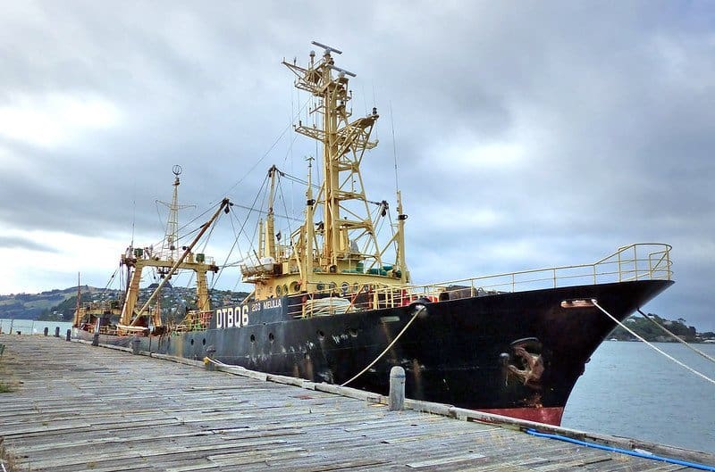
GFW formed a similar partnership with the government of Panama. In July 2019, the group gave the Panamanian authorities a report on the MV NIKA, an outlaw vessel notorious for illegal fishing. Panama shared the tracking information with INTERPOL, which had been after the ship for a month, and the data was ultimately by authorities used to nab the NIKA in the Strait of Malacca.
Among GFW’s most important impacts, however, may simply be getting the word out about illegal fishing. Researchers have used the organization’s data in over 25 scientific papers. And by providing a seen-from-space view of human activity on the world’s oceans, it’s easier to perceive the sea as a single, shared resource for which each person’s use affects everyone else’s. “Global Fishing Watch is about making human use of the oceans visible to everybody who has a stake in the oceans, which is everybody,” says Woods. “The use of the global commons should be common knowledge, and we view the entirety of the oceans as a global commons.”


